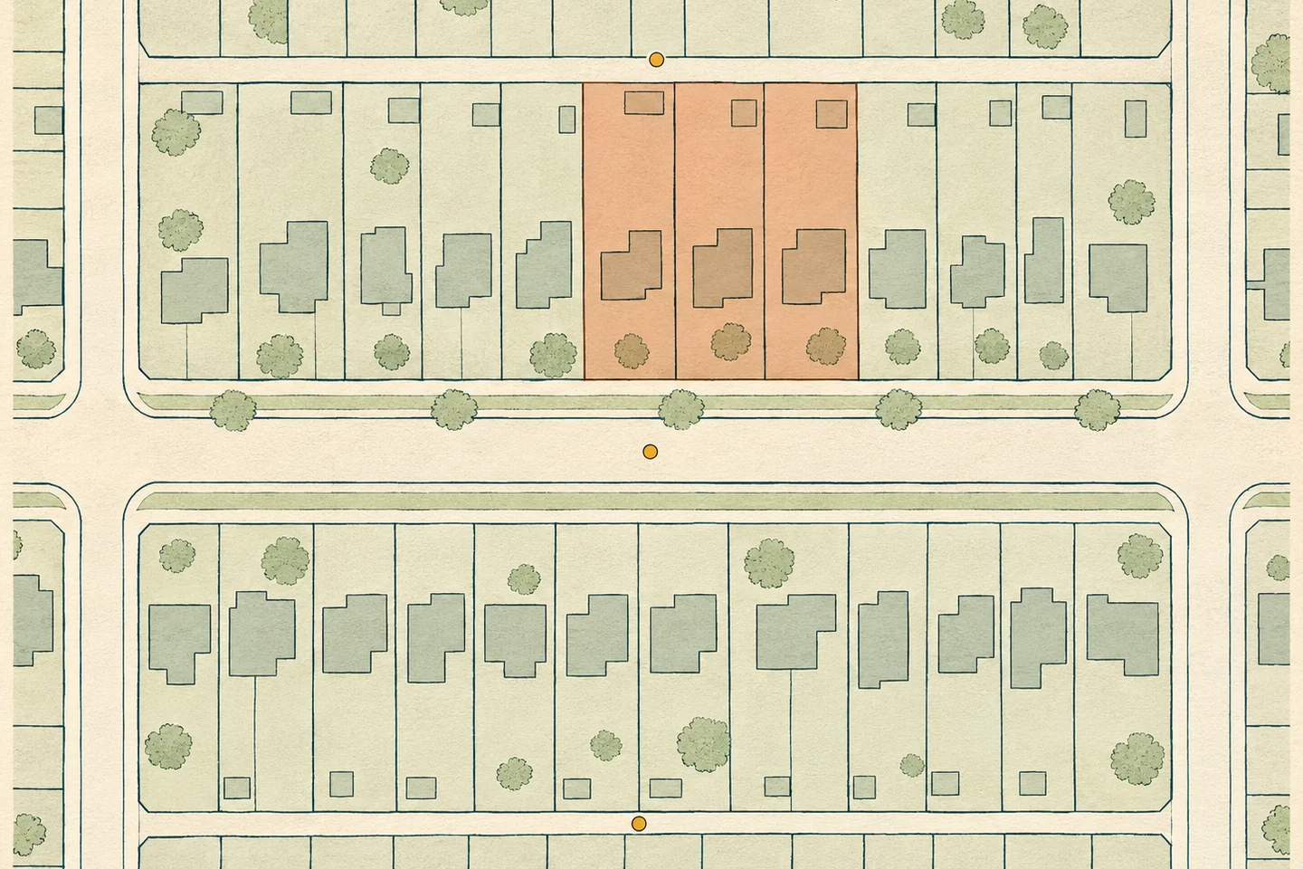
Property and municipal planning
Parcel, building and permit records for property research and municipal planning.

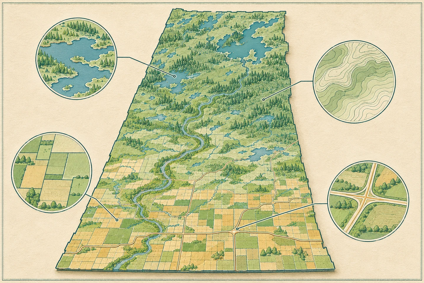
Reports and datasets drawn from Saskatchewan property records, field maps, water data and transportation networks.
Parcel, building and permit records for property research and municipal planning.
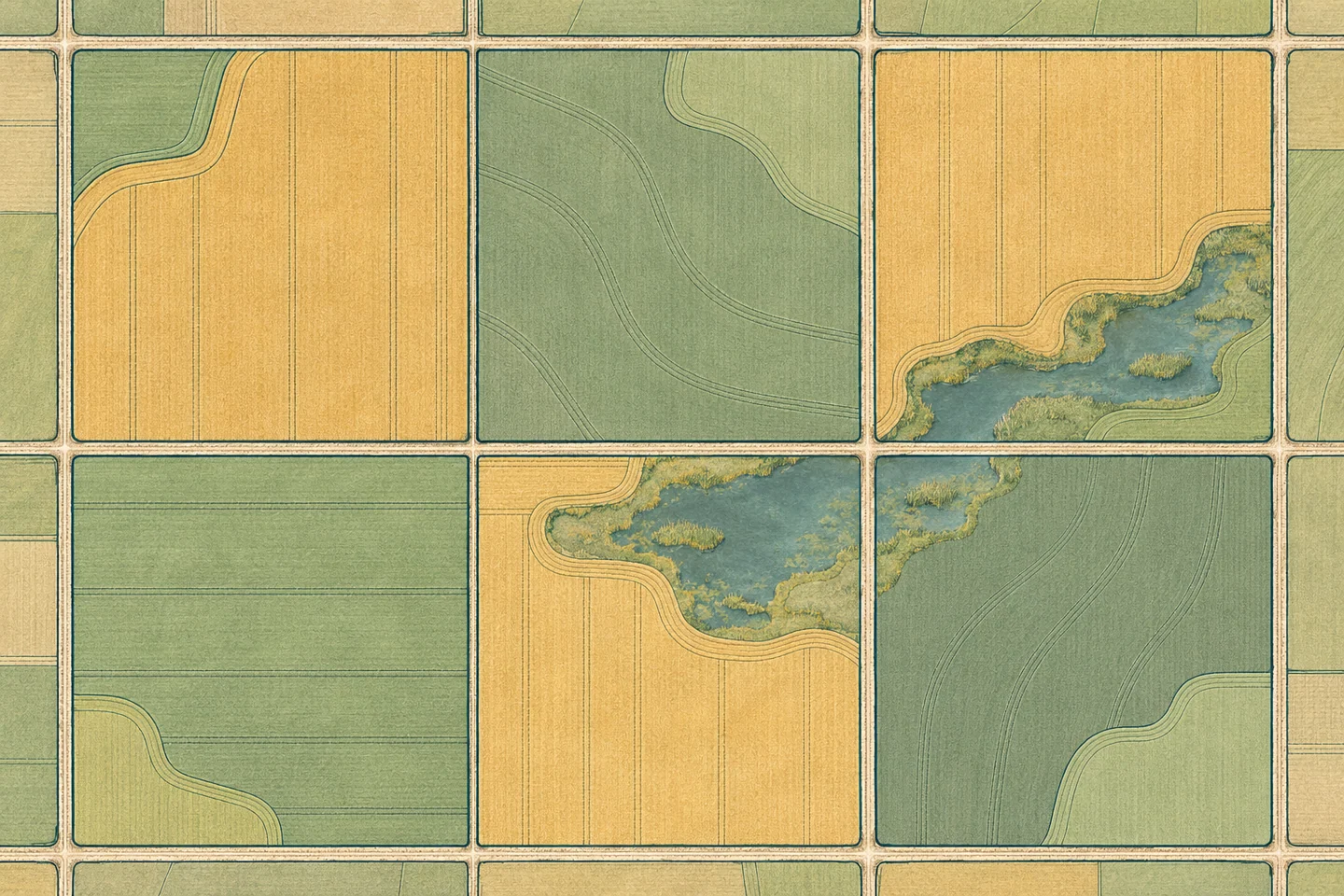
Field boundaries, crop history and growing conditions for Saskatchewan grain farms.
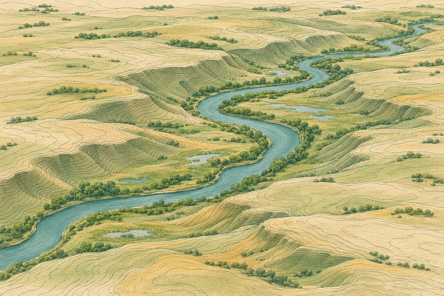
Elevation, drainage, wetlands and land cover for watershed and site assessments.
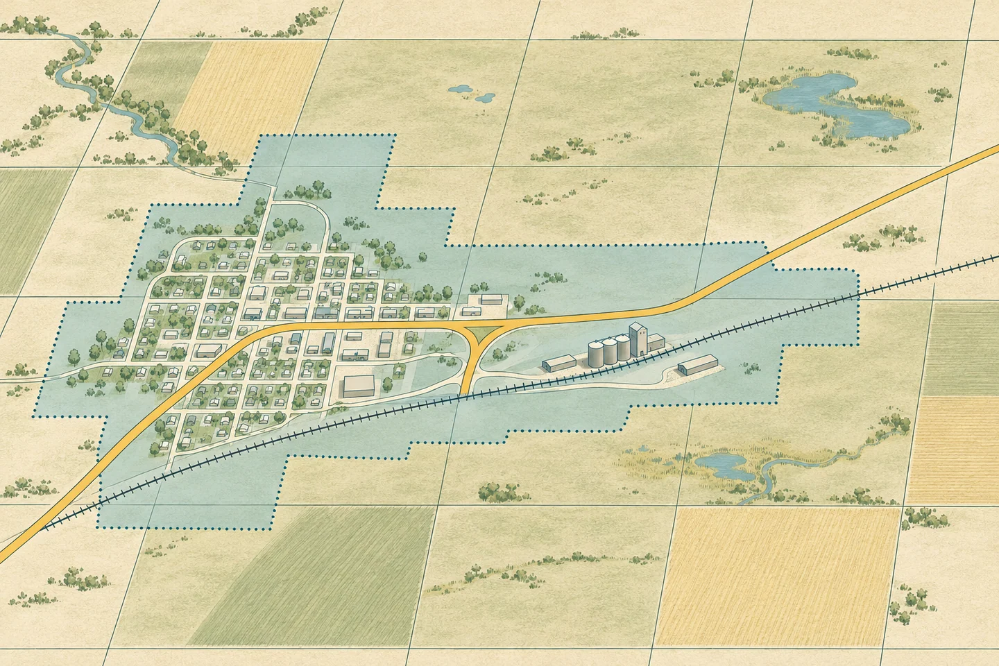
Provincial highways, rural roads, rail lines and utility service areas.
We match records by location. Product documentation lists the source and date for each dataset, describes calculations and gives the area covered.
Property and municipal planning
What an address, parcel identifier or building record can establish about a property.
Farming and agronomy
How cultivated field boundaries and legal parcels differ, and why that matters for comparisons between growing seasons.
Environment and water
Why the open water visible in an aerial image may cover less area than a mapped prairie wetland.