Environment and water
Wetland maps and aerial images
Why the open water visible in an aerial image may cover less area than a mapped prairie wetland.

Elevation, drainage, wetlands and land cover for watershed and site assessments.
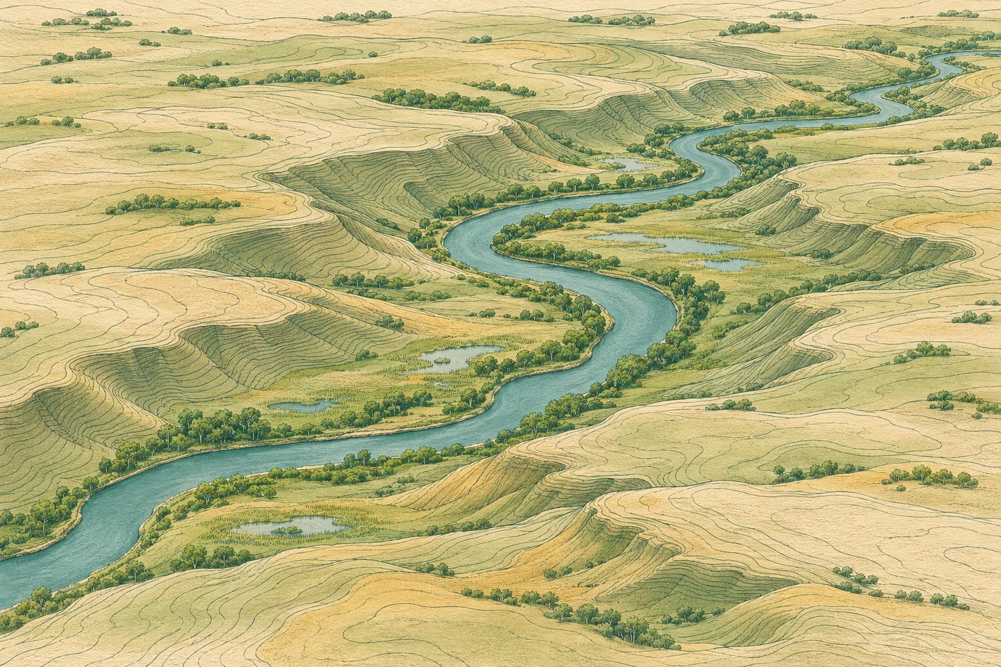
Elevation and contours help trace where runoff could collect or leave a site. Culverts, ditches and on-site conditions can change the route.
Aerial images show water on a particular date. A wetland inventory can cover an area that also includes marsh vegetation and seasonally dry ground.
Stream gauges and lake levels describe conditions at specific stations. Land-cover maps show how the surrounding area is classified.
Environment and water
Why the open water visible in an aerial image may cover less area than a mapped prairie wetland.