Transportation and utilities
Service areas and property connections
What a mapped service area can establish about an address and when provider confirmation is needed.

Provincial highways, rural roads, rail lines and utility service areas.
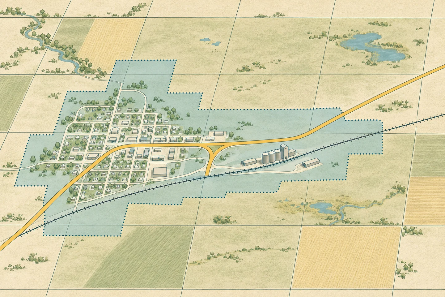
Provincial highway and rural municipality road maps show routes, surface types and restrictions. Rail maps show how a site sits in relation to the network.
Road and rail layers identify possible crossings or route alternatives. Current operating restrictions and access require confirmation from the responsible authority.
A property can fall inside a mapped service area. The utility can confirm the connection, eligibility and available capacity at the address.
Transportation and utilities
What a mapped service area can establish about an address and when provider confirmation is needed.