Field boundaries and legal parcels
How cultivated field boundaries and legal parcels differ, and why that matters for comparisons between growing seasons.
Fields and parcels
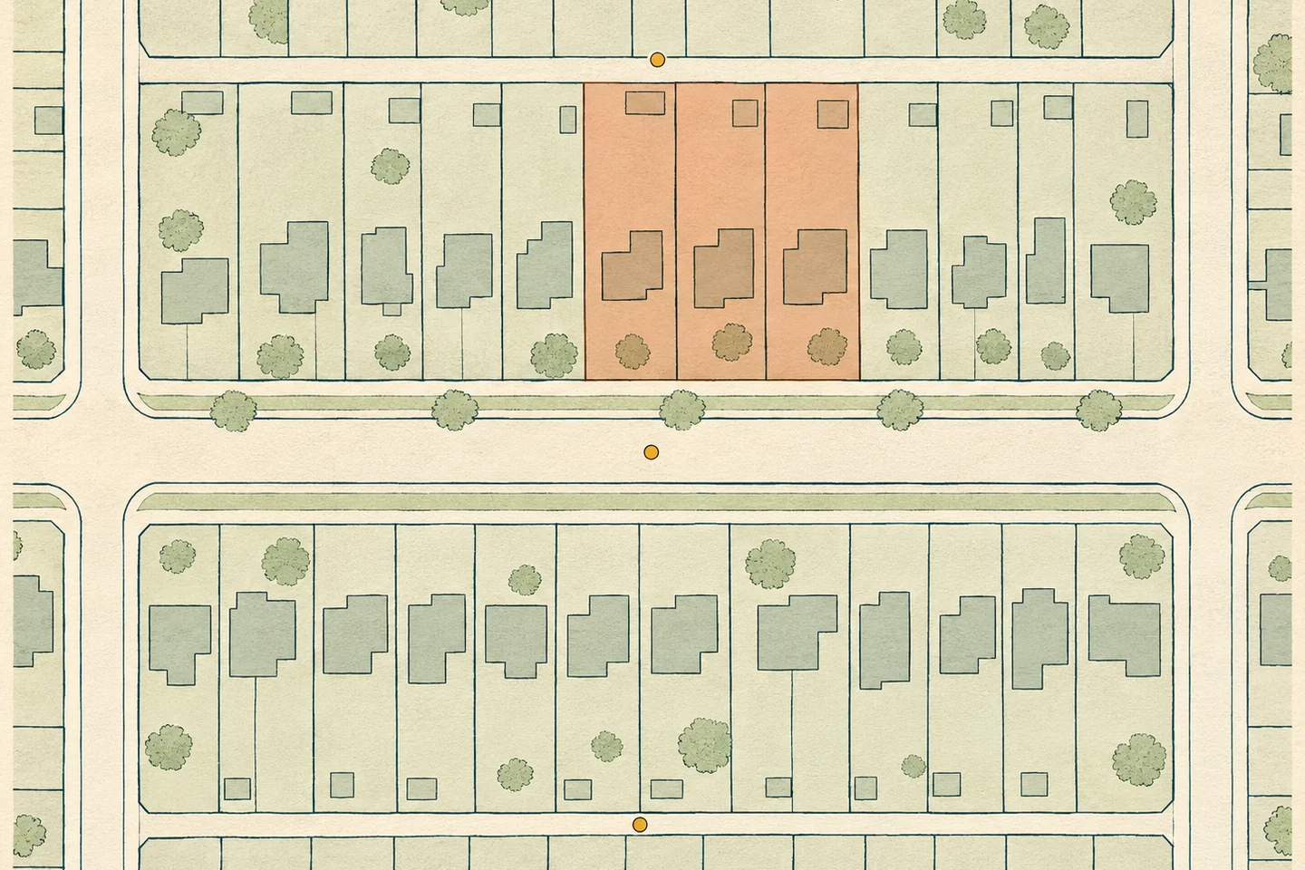
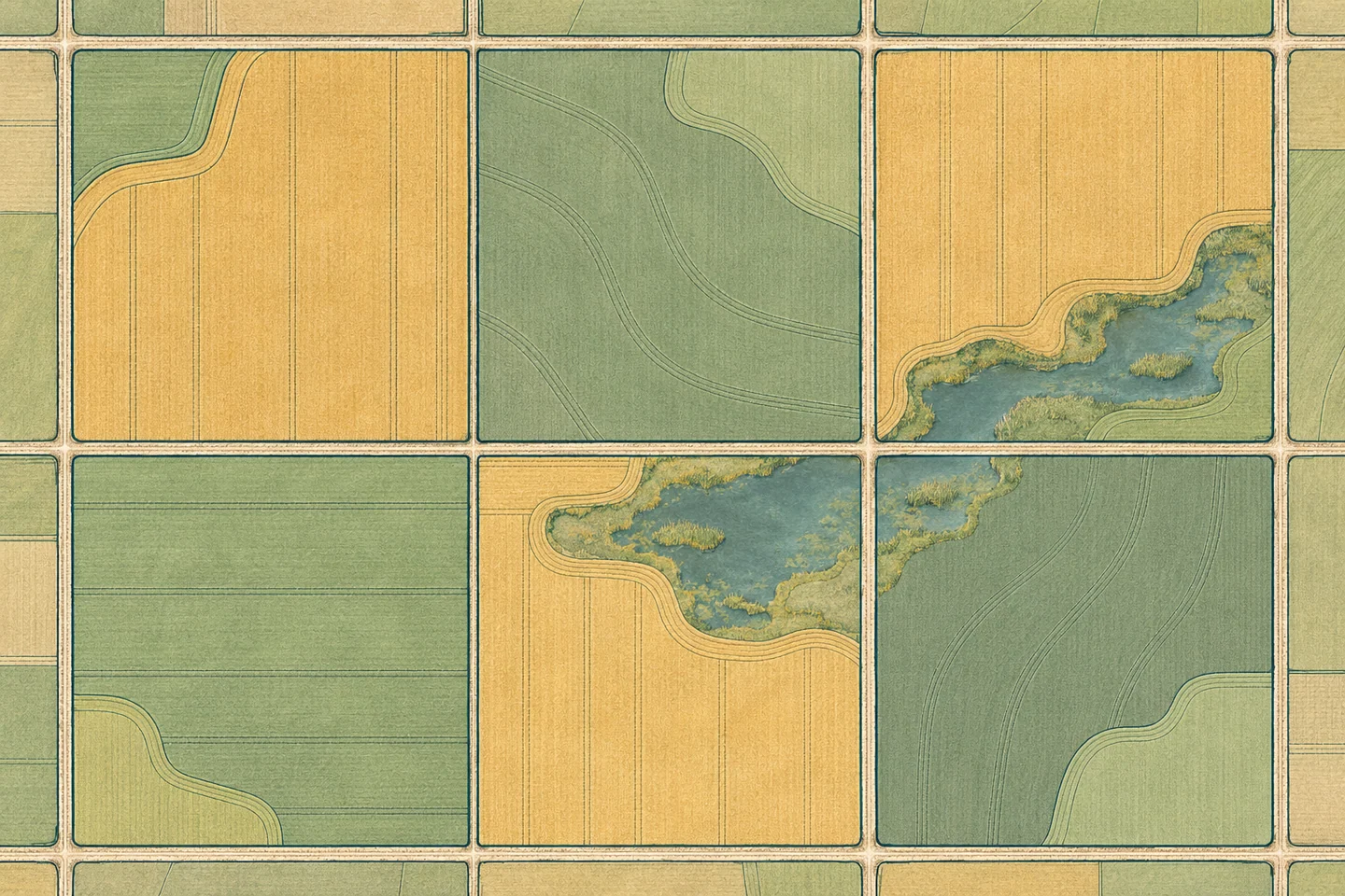
A legal parcel identifies land in a land registry or cadastral system. A cultivated field marks land worked as a unit. A field can span several parcels. A parcel can contain fields, a yard and uncropped land.
Boundary changes
A field boundary may change between years when part of a field is taken out of production or joined to a neighbouring field. The boundary version records the area used for each observation.
Comparisons between seasons
Crop and vegetation comparisons depend on the area, observation period and units. A different field outline can change the result even if growing conditions stay the same.