Sask Data Services
AccountAccountBag 0

Industries

Saskatchewan data for property research, farming, watershed work, transportation and utilities.

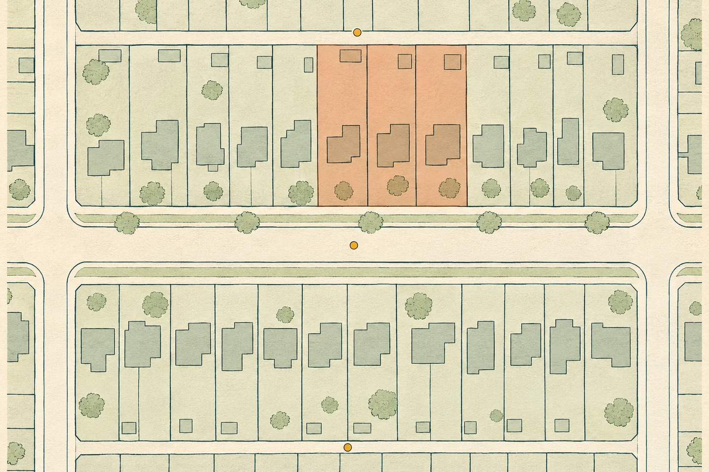
Plan of residential lots, house footprints and alleys, with three properties highlighted.
Example parcel map of a Regina-style residential block

Property and municipal planning

Parcel, building and permit records for property research and municipal planning.

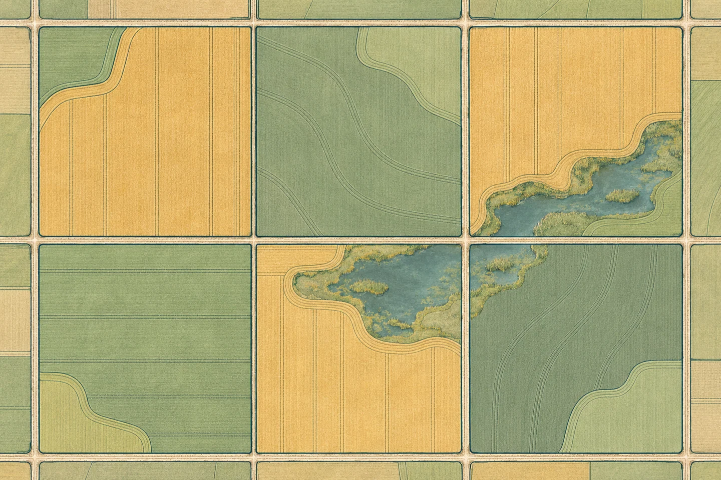
Map of prairie quarter sections with cultivated field outlines and a slough.
Example map of prairie fields and quarter sections

Farming and agronomy

Field boundaries, crop history and growing conditions for Saskatchewan grain farms.
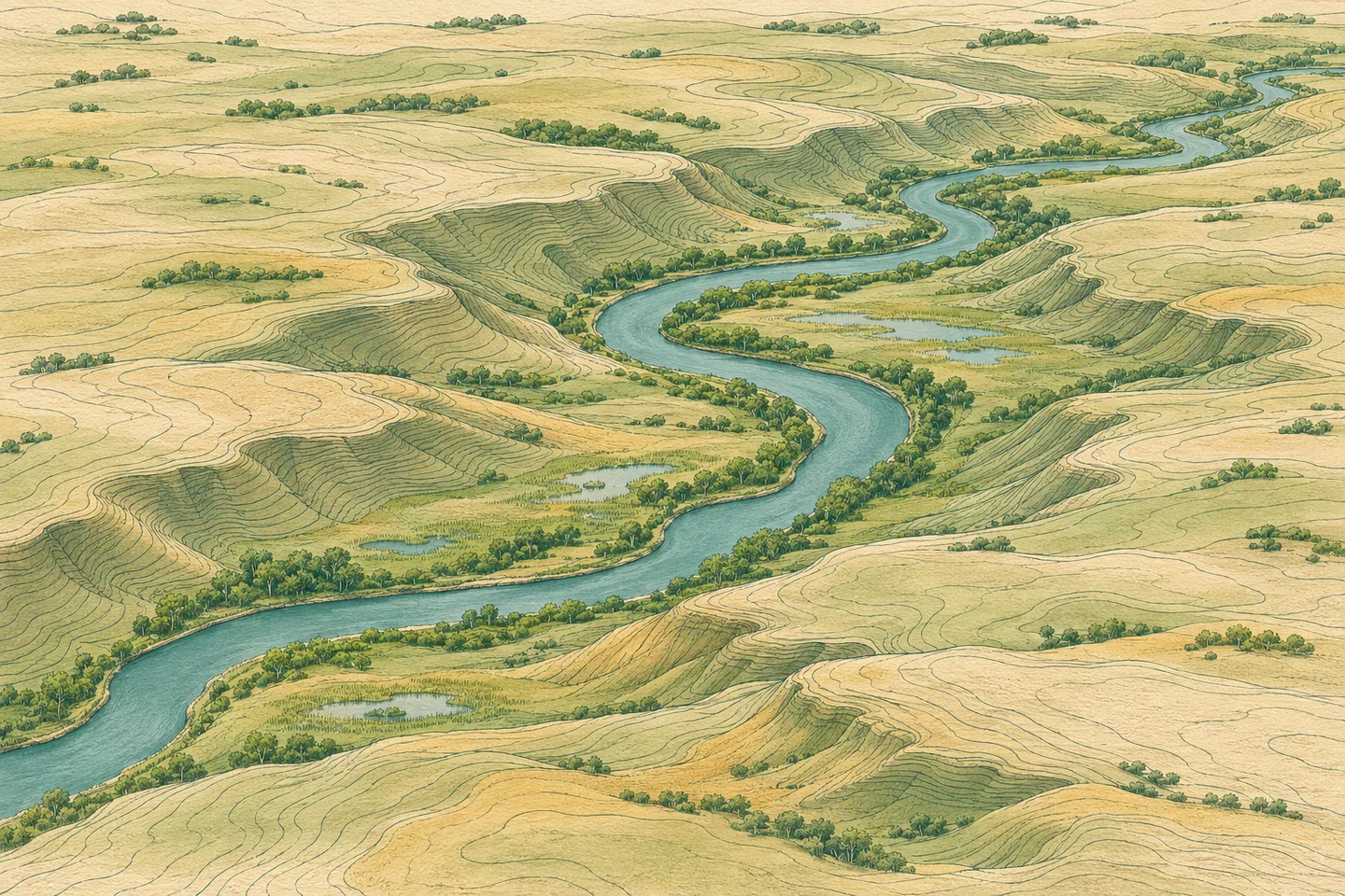
Oblique relief map of a prairie river valley with elevation contours and wetlands.
Conceptual relief map of a Saskatchewan prairie valley

Environment and water

Elevation, drainage, wetlands and land cover for watershed and site assessments.
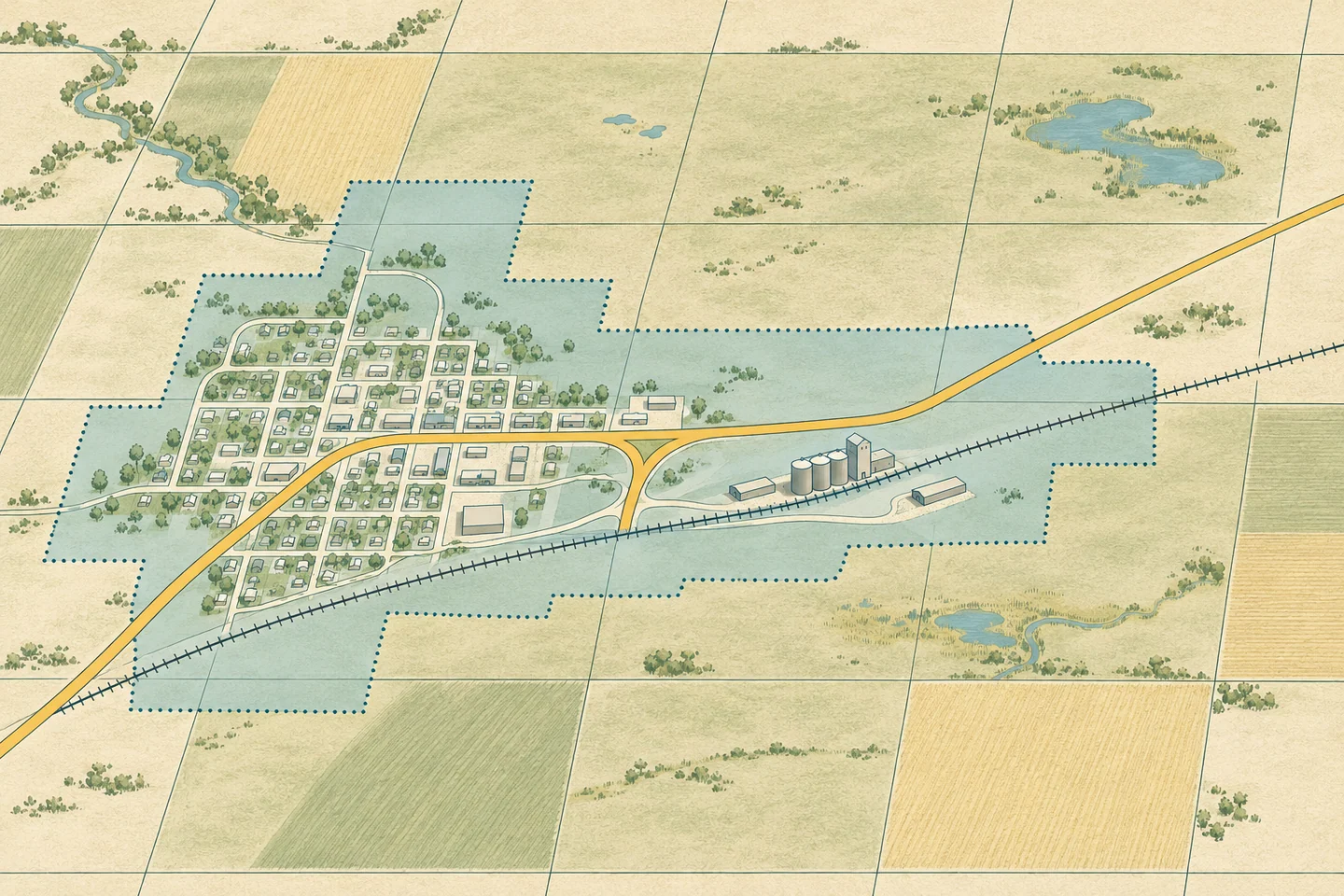
Map of a prairie town showing a highway, a railway and a shaded utility service area.
Example map of a prairie road and rail junction

Transportation and utilities

Provincial highways, rural roads, rail lines and utility service areas.