Addresses, parcels and building records
What an address, parcel identifier or building record can establish about a property.
Property identifiers
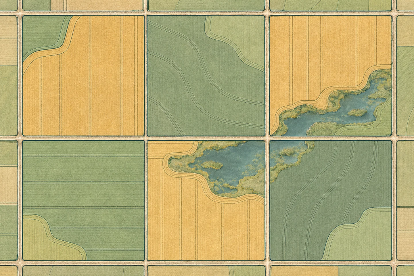
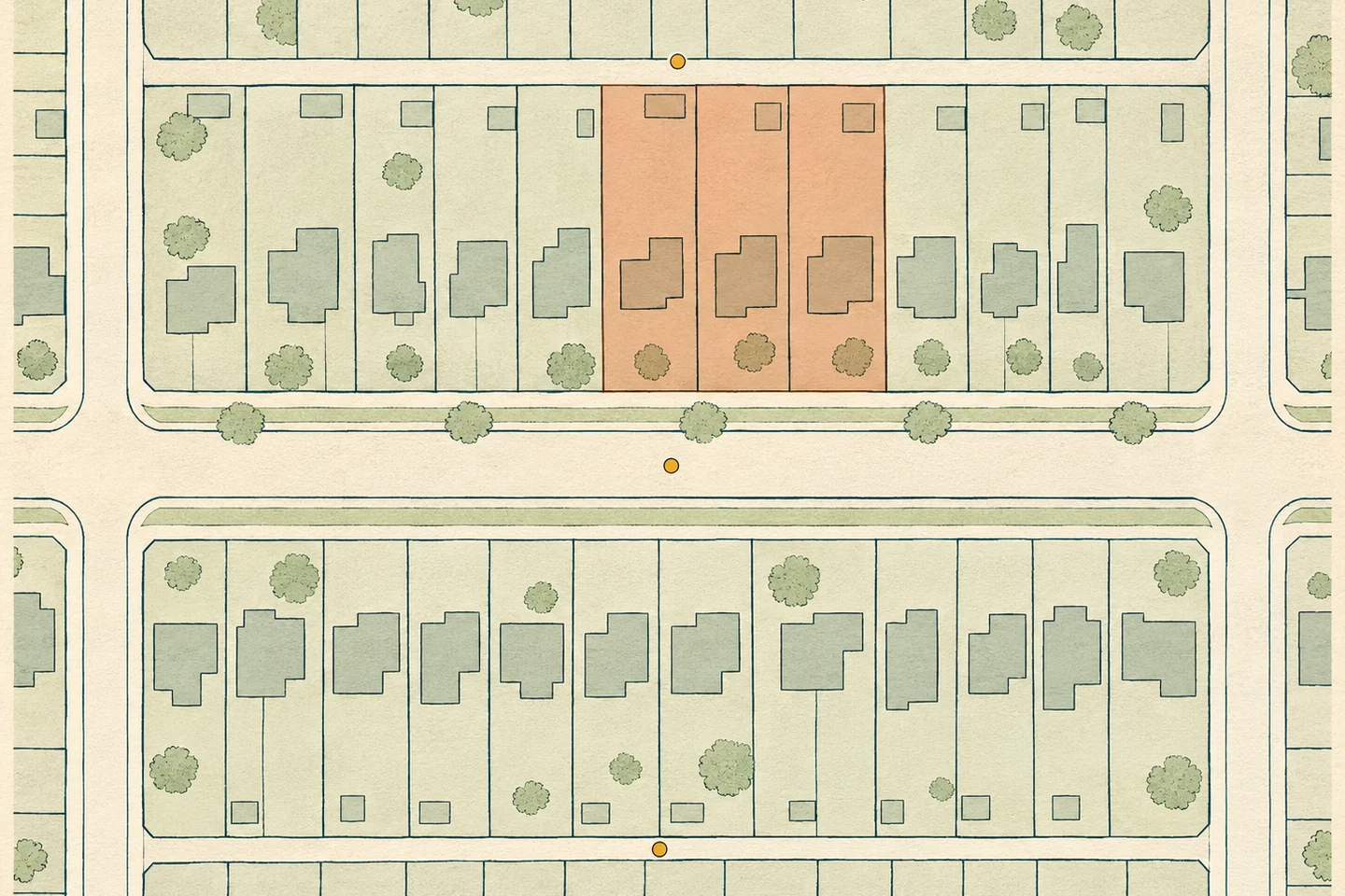
A street address locates a place. A parcel identifier refers to a piece of land in the parcel records. A building can span several parcels, and one site can have several addresses.
Dates in the record
An image has a capture date. A permit has an issue date or another administrative date. The completion date of the work may be recorded separately.
Missing permits
An unsuccessful permit search establishes only that the records searched contained no match. Other records may exist, and some work may have taken place without a permit.