Wetland maps and aerial images
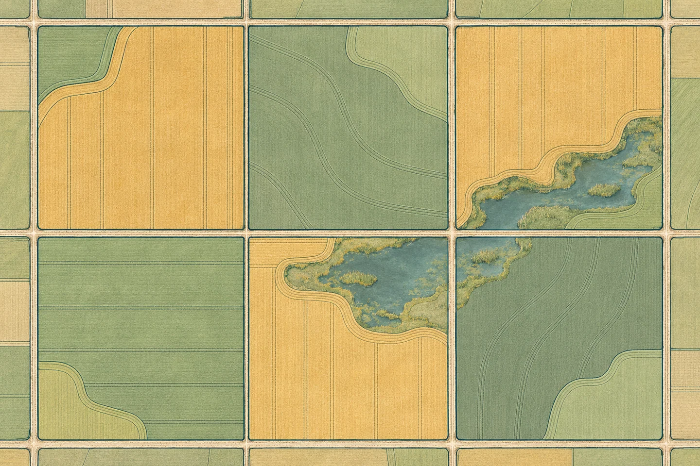
Why the open water visible in an aerial image may cover less area than a mapped prairie wetland.
What each source shows
An aerial image shows conditions on its capture date. A wetland inventory can use vegetation, soils and observations from more than one date to map the area.
Season and precipitation
The visible area of open water changes over the year and between wet and dry periods. A dry-season image alone cannot establish whether a wetland has disappeared.
Recording the extent
The inventory boundary, visible water and image date describe different parts of the record. A decision that depends on the current extent may require field verification.