Farming and agronomy
Field boundaries and legal parcels
How cultivated field boundaries and legal parcels differ, and why that matters for comparisons between growing seasons.

Field boundaries, crop history and growing conditions for Saskatchewan grain farms.
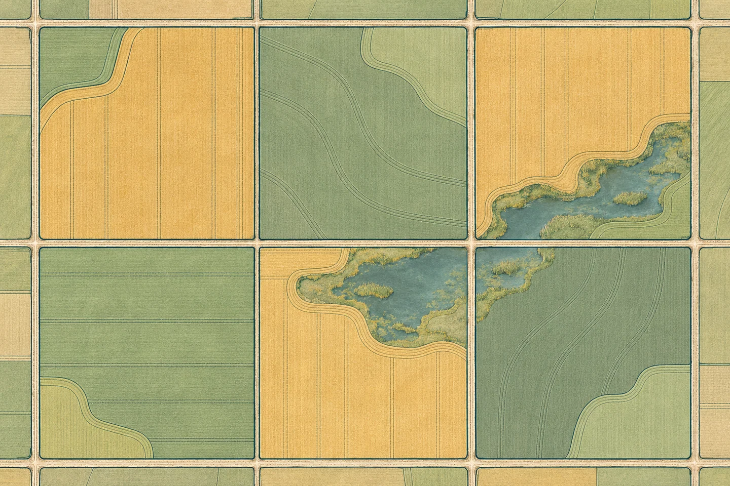
A quarter section is a legal land unit. A working field may cross that line or exclude a farmyard, slough or strip of uncropped land.
Annual crop classifications provide a starting point for comparing rotations across fields. Farm records can resolve uncertain classifications.
Weather, vegetation and drainage observations help explain differences within a field. A yield estimate requires separate measurements.
Farming and agronomy
How cultivated field boundaries and legal parcels differ, and why that matters for comparisons between growing seasons.