Service areas and property connections
What a mapped service area can establish about an address and when provider confirmation is needed.
Mapped coverage
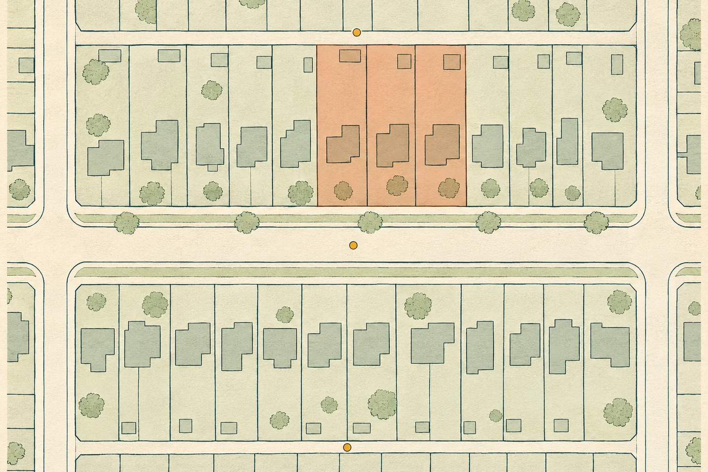
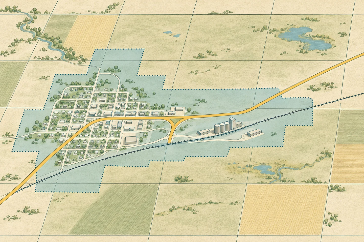
A service-area map shows whether an address falls within the area depicted by the source. A network map can show a line nearby. Connection status requires a separate record.
Map results
“Within the mapped service area” and “near a mapped line” describe different results. The source date and method explain how each result was obtained.
Provider records
The provider can confirm whether an address is connected, whether it is eligible for service and what capacity is available.